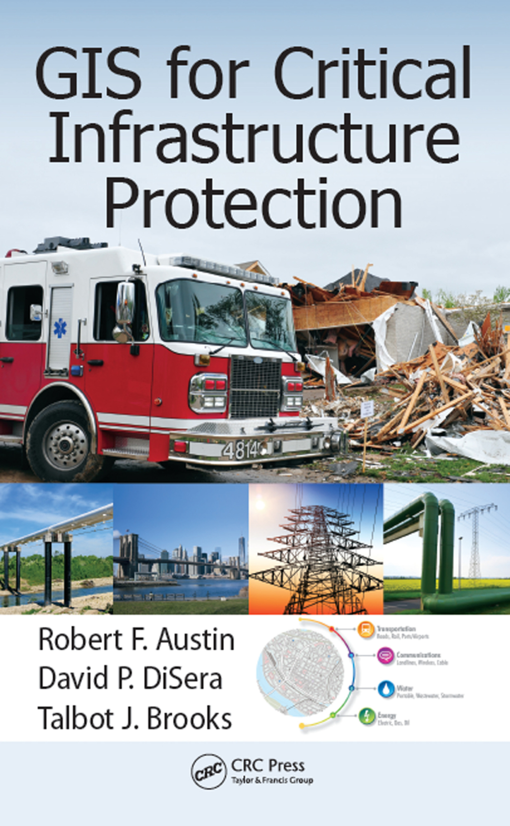
GIS for Critical Infrastructure Protection highlights the GIS-based technologies that can be used to support critical infrastructure protection and emergency management. The book bridges the gap between theory and practice using real-world applications, real-world case studies, and the authors’ real-world experience. Geared toward infrastructure ow
“Radiography Essentials for Limited Scope – E-Book 7th Edition” has been added to your cart. View cart
GIS for Critical Infrastructure Protection 1st Edition
Author(s): Robert F. Austin; David P. DiSera; Talbot J. Brooks
Publisher: CRC Press
ISBN: 9781466599345
Edition: 1st Edition
$39,99
Delivery: This can be downloaded Immediately after purchasing.
Version: Only PDF Version.
Compatible Devices: Can be read on any device (Kindle, NOOK, Android/IOS devices, Windows, MAC)
Quality: High Quality. No missing contents. Printable
Recommended Software: Check here


