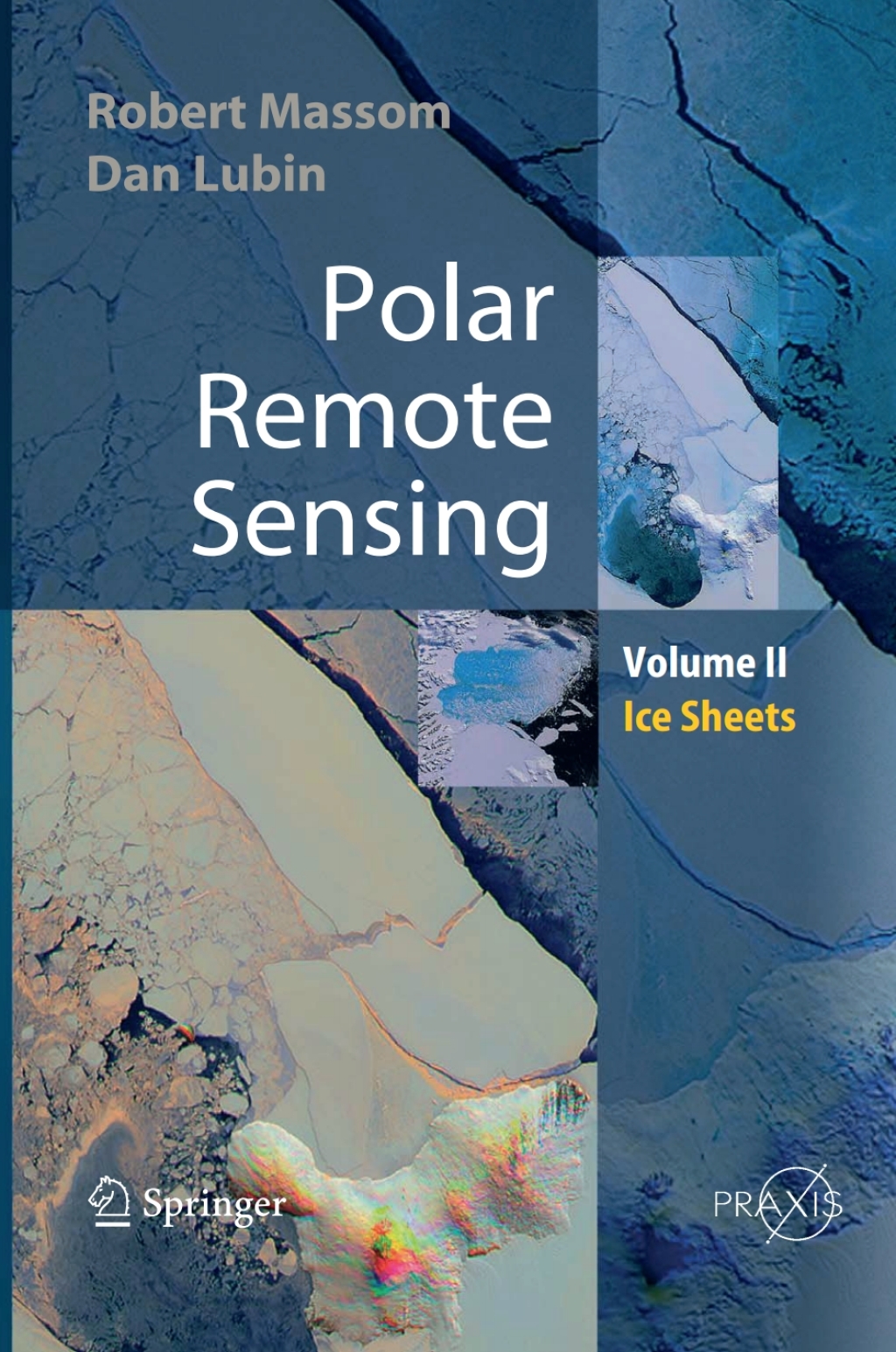
Polar Remote Sensing is a two-volume work providing a comprehensive, multidisciplinary discussion of the applications of satellite sensing. Volume 2 focuses on the ice sheets, icebergs, and interactions between ice sheets and the atmosphere and ocean. It contains information about the applications of satellite remote sensing in all relevant polar related disciplines, including glaciology, meteorology, climate and radiation balance and oceanogaraphy. It also provides a brief review of the state-of-the-art of each discipline, including current issues and questions. Various passive and active remote sensor types are discussed, and the book then concentrates on specific geophysical applications. Its interdisciplinary approach means that major advances and publications are highlighted. Polar Remote Sensing: Ice Sheets summarizes fundamental principles of detectors, imaging and geophysical product retrieval includes a chapter on the important new field of satellite synthetic-aperture radar interferometry is a “one stop shop” for polar remote sensing information contains significant new information on the Earth’s polar regions describes sophisticated groundbased remote sensing applications with specific reference to their use in polar regions.
“Avery’s Neonatology Board Review Certification and Clinical Refresher 2nd Edition” has been added to your cart. View cart
Polar Remote Sensing Volume II: Ice Sheets
Author(s): Robert Massom; Dan Lubin
Publisher: Springer
ISBN: 9783642421266
Edition:
$39,99
Delivery: This can be downloaded Immediately after purchasing.
Version: Only PDF Version.
Compatible Devices: Can be read on any device (Kindle, NOOK, Android/IOS devices, Windows, MAC)
Quality: High Quality. No missing contents. Printable
Recommended Software: Check here

